
Botany is a suburb in south-eastern Sydney, in the state of New South Wales, Australia. Botany is located 11 kilometres south of the Sydney central business district and is part of the Bayside Council.

Randwick is a suburb in the Eastern Suburbs of Sydney, in the state of New South Wales, Australia. Randwick is located 6 kilometres south-east of the Sydney central business district and is the administrative centre for the local government area of the City of Randwick. Randwick is part of the Eastern Suburbs region. The postcode is 2031.
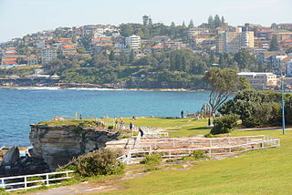
The Eastern Suburbs is the metropolitan region directly to the east and south-east of the central business district in Sydney, New South Wales, Australia.
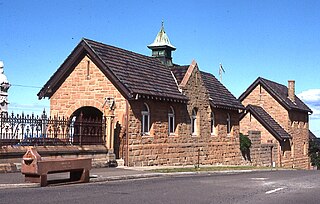
Waverley is an eastern suburb of Sydney, in the state of New South Wales, Australia. Waverley is located 7 kilometres east of the Sydney central business district, in the local government area of Waverley Council.
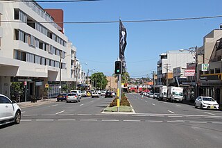
Matraville is located in the Eastern Suburbs of Sydney, in the state of New South Wales, Australia. It is approximately 9 km (6 mi) by road south-east of the Sydney central business district, in the local government area of the City of Randwick.

The Division of Kingsford Smith is an Australian electoral division in the state of New South Wales.
Rosebery is a suburb of Sydney, in the state of New South Wales, Australia. It is 6 kilometres south of the Sydney central business district and is part of the local government areas of the City of Sydney and the Bayside Council.

Phillip Bay is a suburb in south-eastern Sydney, in the state of New South Wales, Australia 13 kilometres south-east of the Sydney central business district, in the local government area of the City of Randwick. Its postcode is 2036.

Malabar is a suburb in south-eastern Sydney, in the state of New South Wales, Australia 12 kilometres south-east of the Sydney central business district, in the local government area of the City of Randwick.
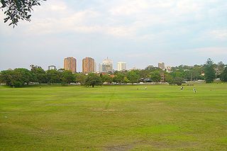
Queens Park is a small suburb in the eastern suburbs of Sydney, in the state of New South Wales, Australia, located approximately 6 kilometres (3.7 mi) east of the Sydney central business district. Located north of Queen's Park, an urban park that forms part of the Centennial Parklands, the suburb is located in the local government area of Waverley Council.

Banksia is a suburb in southern Sydney, in the state of New South Wales, Australia. Banksia is located 12 kilometres south of the Sydney central business district, in the local government area of the Bayside Council and is part of the St George area.

Clovelly is a small beach-side suburb in Sydney's eastern suburbs, in the state of New South Wales, Australia. Clovelly is located 8 kilometres south-east of the Sydney central business district, in the local government area of the City of Randwick, within the Federal Division of Wentworth.
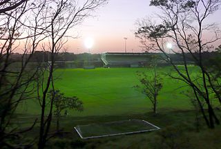
Daceyville is a suburb in the Eastern Suburbs of Sydney, in the state of New South Wales, Australia. Daceyville is 7 km south of the Sydney central business district and is part of the Bayside Council.
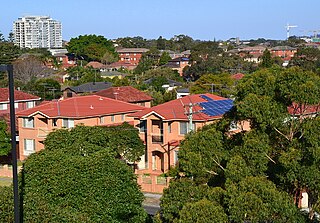
Hillsdale is a suburb in the Eastern Suburbs of Sydney, in the state of New South Wales, Australia. Hillsdale is located 6 kilometres south-east of the Sydney central business district in the Bayside Council. The suburb is named after Pat Hills, former Deputy Premier of New South Wales.
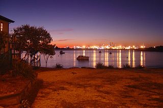
Port Botany is a suburb in south-eastern Sydney, in the state of New South Wales, Australia. Port Botany is located 12 kilometres south-east of the Sydney central business district, in the local government area of the City of Randwick. Port Botany sits on the northern shore of Botany Bay, adjacent to the suburbs of Matraville, Banksmeadow and Phillip Bay.

South Coogee is a coastal suburb in south-eastern Sydney, in the state of New South Wales, Australia. South Coogee is located 9 kilometres south-east of the Sydney central business district, in the local government area of the City of Randwick and part of the Eastern Suburbs region.
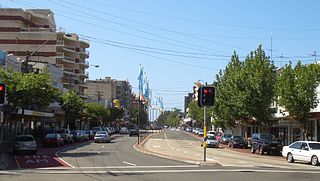
Anzac Parade is a major road in the south-eastern suburbs of Sydney, Australia. It included part of the marathon during the 2000 Summer Olympics, and the blue line denoting the marathon's path still exists today.

Eastern Suburbs Memorial Park, Eastern Suburbs Crematorium and Botany General Cemetery, is a cemetery and crematorium on Bunnerong Road in Matraville, New South Wales, in the eastern suburbs district of Sydney, Australia.

The Malabar Headland is a heritage-listed former public recreation area and military installation site and now nature conservation and public recreation headland area located at Franklin Street, Malabar in the City of Randwick local government area of New South Wales, Australia. It is also known as Long Bay Rifle Range, Anzac Rifle Range and Boora Point. The property is owned by the New South Wales Government. It was added to the New South Wales State Heritage Register on 22 July 2005.
Matraville Sports High School is a government co-educational comprehensive and specialist secondary school, with speciality in sports, located on Anzac Parade, Chifley, an eastern suburb of Sydney, New South Wales, Australia.


