
Vine Hill is a census-designated place (CDP) in Contra Costa County, California, United States. The population was 3,761 at the 2010 census. It is located 2.25 miles (3.6 km) east of downtown Martinez.
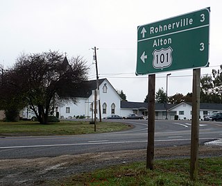
Hydesville is a census-designated place (CDP) in Humboldt County, California, United States. Hydesville is located 4.5 miles (7.2 km) southeast of Fortuna, at an elevation of 364 feet (111 m). The population was 1,237 at the 2010 census, up from 1,209 at the 2000 census.

Mono Vista is a census-designated place (CDP) in Tuolumne County, California, United States. The population was 3,127 at the 2010 census, up from 3,072 at the 2000 census.

Vamo is a census-designated place (CDP) in Sarasota County, Florida, United States. The population was 4,727 at the 2010 census. It is part of the Bradenton–Sarasota–Venice Metropolitan Statistical Area.

Charlotte Hall is a census-designated place (CDP) in Charles and St. Mary's counties, Maryland, United States. The population was 1,420 at the 2010 census. The Maryland Veterans Home for disabled veterans, including a U.S. Veterans Affairs clinic, is located on the site of the former Charlotte Hall Military Academy. The Academy site was declared the Charlotte Hall Historic District, and listed on the National Register of Historic Places in 1975. Since 1940, a sizable Amish farming community has existed nearby, along with a farmers' market and large flea market complex on Maryland Route 5, which is also the site of numerous strip-mall businesses continuing into the adjacent community of Mechanicsville.

Marshfield Hills is a census-designated place (CDP) in the town of Marshfield in Plymouth County, Massachusetts, United States. The population was 2,356 at the 2010 census. The historic center of the village has been designated a historic district and listed on the National Register of Historic Places.

Sheep Springs is a census-designated place (CDP) in San Juan County, New Mexico, United States. The population was 237 at the 2000 census. It is part of the Farmington Metropolitan Statistical Area.
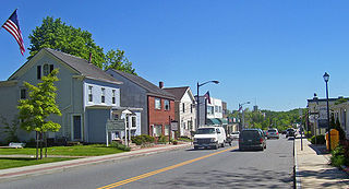
Carmel Hamlet, commonly known simply as Carmel, is a hamlet and census-designated place (CDP) located in the Town of Carmel in Putnam County, New York, United States. As of the 2010 census, the population was 6,817.
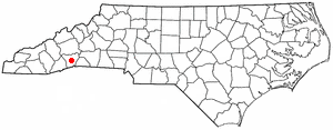
Barker Heights is an unincorporated area and census-designated place (CDP) in Henderson County, North Carolina, United States. The population was 1,254 at the 2010 census. It is part of the Asheville Metropolitan Statistical Area.
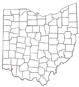
Mount Carmel is a census-designated place (CDP) in Clermont County, Ohio, United States. The population was 4,828 at the 2020 census.
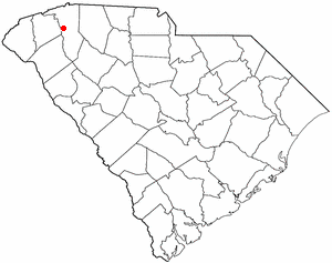
Berea is a census-designated place (CDP) in Greenville County, South Carolina, United States. The population was 14,295 at the 2010 census. It is part of the Greenville–Mauldin–Easley Metropolitan Statistical Area.
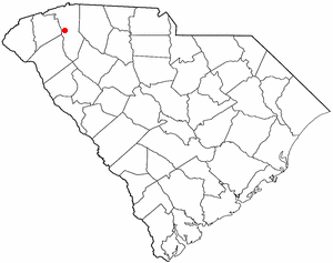
City View, a former incorporated city, is now a census-designated place (CDP) in Greenville County, South Carolina, United States. The population was 1,345 at the 2010 census, up from 1,254 in 2000. It is part of the Greenville–Mauldin–Easley Metropolitan Statistical Area.
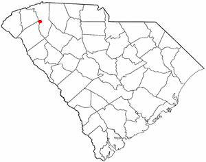
Gantt is a census-designated place (CDP) in Greenville County, South Carolina, United States. The population was 14,229 at the 2010 census. It is part of the Greenville–Mauldin–Easley Metropolitan Statistical Area and a suburb of the city of Greenville.
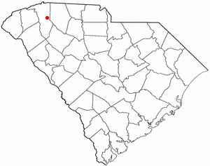
Taylors is a census-designated place (CDP) in Greenville County, South Carolina, United States. The population was 21,617 at the 2010 census. Taylors is the Greenville/Spartanburg area's largest suburb although it is not incorporated as a city. It is part of the Greenville–Mauldin–Easley Metropolitan Statistical Area.
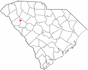
Cokesbury is a census-designated place (CDP) in Greenwood County, South Carolina, United States. The population was 215 at the 2010 census, down from 279 in 2000.
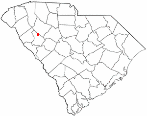
Coronaca is an unincorporated community and census-designated place (CDP) in Greenwood County, South Carolina, United States. The population was 191 at the 2010 census.

Clarks Hill is a census-designated place (CDP) in McCormick County, South Carolina, United States. The population was 376 at the 2000 census.

St. Andrews is a census-designated place (CDP) in Richland County, South Carolina, United States. The population was 20,493 at the 2010 census. It is part of the Columbia, South Carolina Metropolitan Statistical Area.
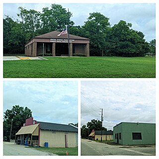
Rembert is a town in Sumter County, South Carolina, United States. The population was 306 at the 2010 census, a decline from 406 in 2000. It is included in the Sumter, South Carolina Metropolitan Statistical Area.

Brandon is an unincorporated village and census-designated place (CDP) in the town of Brandon, Rutland County, Vermont, United States. As of the 2020 census, the population was 1,727.


