
The Division of Griffith is an electoral division for the Australian House of Representatives. The division covers the inner southern suburbs of Brisbane, Queensland.
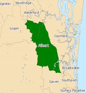
Albert was a Legislative Assembly electorate in the state of Queensland which existed from 1887 to 1949 and 1959 to 2017.

The electoral district of Algester is an electoral district of the Legislative Assembly of Queensland in south-west Brisbane. It includes the suburbs of Algester, Parkinson, Hillcrest, Boronia Heights, Forestdale, Larapinta, Heathwood, Forest Lake, Doolandella and Pallara, as well as the Greenbank Military Range. It borders the electoral districts of Sunnybank, Stretton, Logan, Lockyer, Bundamba and Inala.
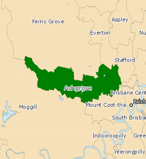
Ashgrove was a Legislative Assembly of Queensland electoral district in the state of Queensland, Australia from 1960 to 2017.

Aspley is an electoral district of the Legislative Assembly in the Australian state of Queensland.
This is a list of current and former electoral divisions for the Legislative Assembly of Queensland, the state legislature for Queensland, Australia.
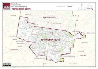
Toowoomba South is an electoral district of the Legislative Assembly in the Australian state of Queensland. It was created with the 1972 redistribution, and replaced the abolished Toowoomba East.
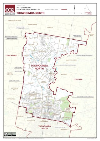
Toowoomba North is an electoral district of the Legislative Assembly in the Australian state of Queensland. It was created with the 1972 redistribution. It replaced the abolished electorate of Toowoomba West. Toowoomba North is largely based around the upper half of the city of Toowoomba.

Lockyer is an electoral district of the Legislative Assembly in the Australian state of Queensland.

Mount Ommaney is an electoral district of the Legislative Assembly in the Australian state of Queensland. It was created with the 1992 redistribution.

Yeerongpilly was a Legislative Assembly electorate the state of Queensland. Named for the suburb with the same name, the electorate was renamed before the 2001 elections from the previous name of Yeronga. In 2017, it was abolished and replaced by the electoral district of Miller.
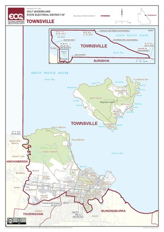
Townsville is an electoral district of the Legislative Assembly in the Australian state of Queensland. The seat is one of four within the Townsville urban area in North Queensland, and covers the Eastern and Northern suburbs of the City of Townsville as well as Magnetic Island and Palm Island.
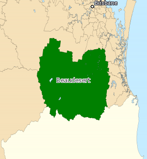
Beaudesert was an electoral district of the Legislative Assembly in the Australian state of Queensland from 1991 to 2017.
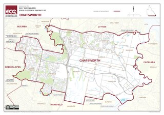
Chatsworth is an electoral district of the Legislative Assembly in the Australian state of Queensland. The electorate is centred on the south-eastern suburbs of Brisbane and stretches north to Tingalpa, west to Carina Heights, east to Tingalpa Creek and south to Bulimba Creek.
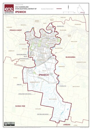
Ipswich is a Legislative Assembly of Queensland electoral district on the Brisbane River, west of Brisbane in the Australian state of Queensland. The electorate includes Ipswich and its suburbs, south and east of the Bremer River, west of Bundamba Creek and north of the Cunningham Highway.
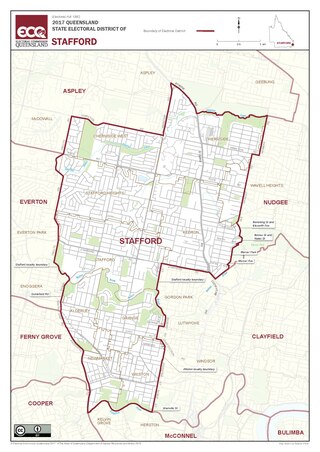
Stafford is a Legislative Assembly of Queensland electoral district in the state of Queensland, Australia.
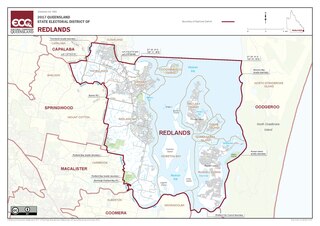
Redlands is an electoral district of the Legislative Assembly in the Australian state of Queensland. It primarily covers coastal suburbs on the southside of the city of Brisbane, from Thornlands south to the Logan River.

Kurwongbah is an electoral district of the Legislative Assembly in the Australian state of Queensland which existed at first from 1992 to 2009, and was re-introduced for the 2017 state election. It is named after Lake Kurwongbah.The district is based in the Moreton Bay Region.
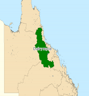
Dalrymple was an electoral district of the Legislative Assembly in the Australian state of Queensland from 2009 to 2017.

Maiwar is an electoral district of the Legislative Assembly in the Australian state of Queensland, incorporating the inner western suburbs of Brisbane. It was created in the 2017 redistribution, and was first contested at the 2017 Queensland state election. The name of the electorate is stated by the government as being based on an Aboriginal name for the Brisbane River, however it is not the name that the Turrbal people who lived in the Brisbane region had for the river. The Brisbane River forms the southern boundary of the electorate.


