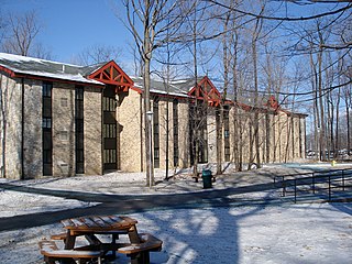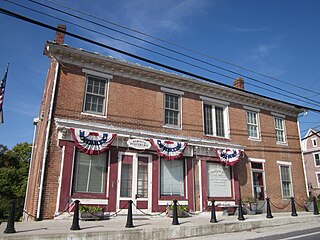
Warren County is a county in the Commonwealth of Pennsylvania. As of the 2020 census, the population was 38,587. Its county seat is Warren. The county was established in 1800 from parts of Allegheny and Lycoming counties; attached to Crawford County until 1805 and then to Venango County until Warren was formally established in 1819.

Liberty Township is a township in Bedford County, Pennsylvania, United States. The population was 1,383 at the 2020 census. Warriors Path State Park is located in the township.

Towanda is a borough in, and the county seat of, Bradford County in the U.S. state of Pennsylvania. It is part of Northeastern Pennsylvania and is located 66 miles (106 km) northwest of Wilkes-Barre, on the Susquehanna River. The name means "burial ground" in the Algonquian language. As of the 2020 census, the population of Towanda was 2,833.

Richland Township is a township in Cambria County, Pennsylvania, United States. The population was 12,814 at the 2010 census. It is part of the Johnstown, Pennsylvania Metropolitan Statistical Area.

Gouldsboro is a village and census-designated place (CDP) in Lehigh Township in Wayne County, and Coolbaugh Township, in Monroe County, Pennsylvania, United States. The CDP's population was 750 at time of the 2020 United States Census.

Refton is an unincorporated community and census-designated place (CDP) in Strasburg Township, Lancaster County, Pennsylvania, United States, with a ZIP code of 17560. The community is located along U.S. Route 222. As of the 2010 census, the population was 298.
Penryn is an unincorporated community and census-designated place (CDP) in Penn Township, Lancaster County, Pennsylvania, United States. As of the 2010 census the population was 1,024.
Sidman is an unincorporated community and census-designated place in Cambria County, Pennsylvania, United States. Its ZIP code is 15955. It was part of the St. Michael-Sidman census-designated place, before it was split into two separate CDPs during the 2010 census. The population of Sidman as of the 2010 census was 431.

Idaville is a census-designated place that is located in Huntington Township, Adams County, Pennsylvania, United States. As of the 2020 census, its population was 176. Idaville is served by the Bermudian Springs School District.

Heidlersburg is an unincorporated community and census-designated place that is located in Tyrone Township, Adams County, Pennsylvania, United States. As of the 2020 census, the population was 509.

Hunterstown is an unincorporated community and census-designated place in Straban Township, Adams County, Pennsylvania, United States. As of the 2020 census, the population was 506.
Eagle Lake is a census-designated place (CDP) in Covington Township, Lackawanna County, Pennsylvania, United States. As of the 2010 census, the population was 12. At that time, of 95 total housing units, five were occupied, while the remainder were for seasonal or recreational use.

Force is an unincorporated community and census-designated place in Jay Township, Elk County, Pennsylvania, United States. As of the 2020 census it had a population of 213. It is located on Pennsylvania Route 255 between St. Marys and Penfield.
Greenock is a census-designated place (CDP) in Elizabeth Township, Allegheny County, Pennsylvania, United States. As of the 2020 US Census the population was 1,989.
Earlston is a census-designated place in West Providence Township, Bedford County, Pennsylvania, in the United States. The population was 1,049 as of the 2020 census. It is located just across the Raystown Branch of the Juniata River from the borough of Everett.

Blandburg is an unincorporated community and census-designated place (CDP) in Reade Township, Cambria County, Pennsylvania, United States, located along Pennsylvania Route 865 in far northeastern Cambria County. As of the 2010 census, the population was 402 residents.
Dunlo is an unincorporated community and census-designated place (CDP) in Adams Township, Cambria County, Pennsylvania, United States. It is located between the communities of Beaverdale and Salix, in the valley of Sulphur Creek, a tributary of the Little Conemaugh River. As of the 2010 census, the population was 342 residents.
Mundys Corner is an unincorporated community and census-designated place in Jackson Township, Cambria County, Pennsylvania, United States. As of the 2010 census, the population was 1,651 residents.

Oakland is a census-designated place (CDP) in Stonycreek Township, Cambria County, Pennsylvania, United States. It is bordered on the west by the city of Johnstown and on the south by the boroughs of Lorain and Geistown. As of the 2010 census, the population of Oakland was 1,578.
Riverside is an unincorporated community and census-designated place in Stonycreek Township, Cambria County, Pennsylvania, United States. It is located just to the south of the city of Johnstown inside a bend formed by the Stonycreek River. As of the 2010 census, the population of Riverside was 381.


