Related Research Articles
Sutton may refer to:

A Scout County is an administrative division within The Scout Association of the United Kingdom. There are currently 115 Counties and Areas in the United Kingdom. These bodies are responsible for providing programmes and support for their member Scout Districts.

The schools in England are organised into local education authorities. There are 150 local education authorities in England organised into nine larger regions. According to the Schools Census, there were 3,408 maintained government secondary schools in England in 2017.
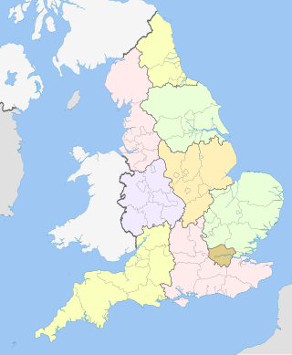
England is divided by a number of different regional schemes for various purposes. Since the creation of the Government Office Regions in 1994 and their adoption for statistical purposes in 1999, some historical regional schemes have become obsolete. However, many alternative regional designations also exist and continue to be widely used.
The following is a list of articles about the geology of English counties:

The War Damage Commission was a body set up by the British Government under the War Damage Act 1941 to pay compensation for war damage to land and buildings and " 'fixed' plant and machinery", throughout the United Kingdom. It was not responsible for the repairs themselves, which were carried out by local authorities or private contractors.
The Natural Areas of England are regions, officially designated by Natural England, each with a characteristic association of wildlife and natural features. More formally, they are defined as "biogeographic zones which reflect the geological foundation, the natural systems and processes and the wildlife in different parts of England...".
A National Character Area (NCA) is a natural subdivision of England based on a combination of landscape, biodiversity, geodiversity and economic activity. There are 159 National Character Areas and they follow natural, rather than administrative, boundaries. They are defined by Natural England, the UK government's advisors on the natural environment.
Local transport bodies are partnerships of local authorities in England outside Greater London. There are 38 local transport bodies. They cover similar areas to local enterprise partnerships, but are not permitted to overlap each other. Decision making for major transport infrastructure spending is devolved to these bodies from the Department for Transport. They will receive funding from April 2015.
References
- ↑ "District Names and Codes for England and Wales as at 31/12/1994". statistics.gov.uk. Archived from the original on 4 June 2011. Retrieved 4 November 2023.