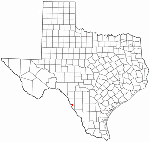
El Indio is a census-designated place (CDP) in Maverick County, Texas, United States. The population was 263 at the 2000 census.
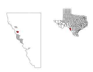
Elm Creek is a census-designated place (CDP) in Maverick County, Texas, United States. The population was 2,884 as of the 2020 census.

Radar Base is a census-designated place (CDP) in Maverick County, Texas, United States. The population was 93 at the 2020 census.

Chula Vista, formerly known as Rosita North, is a census-designated place (CDP) in Maverick County, Texas, United States. The population was 5,100 at the 2020 census.
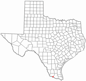
West Alto Bonito is a census-designated place (CDP) in Starr County, Texas, United States. The population was 615 in 2020 census. Prior to the 2010 census, West Alto Bonito CDP was known as Alto Bonito CDP.
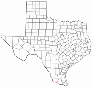
El Refugio is a census-designated place (CDP) in Starr County, Texas, United States. The population was 407 at the 2020 census. El Refugio gained area in the 2010 census.

La Puerta is a census-designated place (CDP) in Starr County, Texas, United States. The population was 638 at the 2020 census, an increase from the figure of 632 tabulated in 2010 census.

La Victoria is a census-designated place (CDP) in Starr County, Texas, United States. La Victoria underwent some changes prior to the 2010 census. It gained area, had portions taken to form new CDPs, and lost additional area. Only a small part of 2010 La Victoria CDP was within the 2000 La Victoria CDP. The population was only 171 at the 2010 census, a decline from the figure of 1,683 tabulated at the 2000 census.
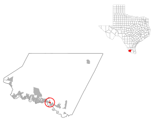
Las Lomas is a census-designated place (CDP) in Starr County, Texas, United States. The population was 3,147 at the 2010 census. Las Lomas is one of several colonias in Starr County, within the Rio Grande Valley region. The name is derived from the community's terrain.
Garciasville is a census-designated place (CDP) in Starr County, Texas, United States. It is a new CDP for the 2010 census, with a population of 46.

El Castillo is a census-designated place located in Starr County, Texas, United States. It is a new CDP, formed from part of the old La Victoria CDP for the 2010 census, with a population of 188.
Bluetown is a census-designated place (CDP) in Cameron County, in the U.S. state of Texas. The population was 356 at the 2010 census. It is part of the Brownsville–Harlingen Metropolitan Statistical Area.
Arroyo Gardens is a census-designated place (CDP) in Cameron County, in the U.S. state of Texas. The population was 456 at the 2010 census. Prior to the 2010 census, the community was part of the Arroyo Gardens-La Tina Ranch CDP. It is part of the Brownsville–Harlingen Metropolitan Statistical Area.
Iglesia Antigua is a census-designated place (CDP) in Cameron County, in the U.S. state of Texas. The population was 413 at the 2010 census. Prior to the 2010 census, the community was part of the Bluetown-Iglesia Antigua CDP. It is part of the Brownsville–Harlingen Metropolitan Statistical Area.
Fabrica is an unincorporated community and census-designated place in Maverick County, Texas, United States. Its population was 772 as of the 2020 census. U.S. Route 277 passes through the community.
Seco Mines is an unincorporated community and census-designated place in Maverick County, Texas, United States. Its population was 572 as of the 2020 census. U.S. Route 277 passes through the community.
Siesta Acres is an unincorporated community and census-designated place in Maverick County, Texas, United States. Its population was 1,866 as of the 2020 census. U.S. Route 277 passes through the community.
Fort Clark Springs is an unincorporated community and census-designated place (CDP) in Kinney County, Texas, United States. The population was 1,228 at the 2010 census. It is the site of the former Fort Clark, now a historic district.
Palmer is a colonia and census-designated place (CDP) in Cameron County, Texas, United States. It was first listed as a CDP prior to the 2020 census.
Rice Tracts is an unincorporated community and census-designated place (CDP) in Cameron County, Texas, United States. It was first listed as a CDP prior to the 2020 census.


