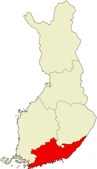
Southern Finland was a province of Finland from 1997 to 2009. It bordered the provinces of Western Finland and Eastern Finland. It also bordered the Gulf of Finland and Russia.
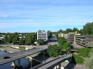
Heinola is a town and a municipality of 17,872 inhabitants located in the eastern part of the Päijänne Tavastia region, Finland, near the borders of the South Savonia region and the Kymenlaakso region. It is the third largest municipality in the region in terms of population after Lahti and Hollola. The neighbour municipalities of Heinola are Asikkala, Hartola, Iitti, Kouvola, Mäntyharju, Nastola, Pertunmaa and Sysmä.
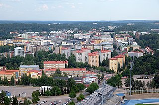
Lahti is a city in Finland and the regional capital of Päijät-Häme. It is located in the Finnish Lakeland. The population of Lahti is approximately 121,000, while the sub-region has a population of approximately 205,000. It is the 9th most populous municipality in Finland, and the sixth most populous urban area in the country.
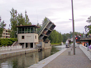
Asikkala is a municipality of Finland. Its seat is in Vääksy, at the shores of the Lake Päijänne. It is located in the province of Southern Finland and is part of the Päijänne Tavastia region. Asikkala's neighboring municipalities are Hämeenlinna, Heinola, Hollola, Lahti, Padasjoki and Sysmä.
The former Province of Southern Finland in Finland was divided into six regions, 16 sub-regions, and 88 municipalities.
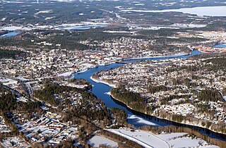
Kouvola is a city in Finland and the administrative capital of Kymenlaakso. It is located in the southeastern interior of the country. The population of Kouvola is approximately 79,000. It is the 11th most populous municipality in Finland, and the 17th most populous urban area in the country.
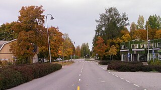
Hausjärvi is a municipality of Finland. Its seat is in Oitti.

Hollola is a municipality of Finland, located in the western part of the Päijänne Tavastia region. The municipality is unilingually Finnish and has a population of 22,814 and covers an area of 727.47 square kilometres (280.88 sq mi) of which 68.66 km2 (26.51 sq mi) is water. The population density is 35.02 inhabitants per square kilometre (90.7/sq mi).

Iitti is a municipality of Finland. It is located in the province of Southern Finland and is part of the Päijänne Tavastia region. The municipality has a population of 6,433 and covers an area of 687.09 square kilometres (265.29 sq mi) of which 97.27 km2 (37.56 sq mi) is water. The population density is 10.91 inhabitants per square kilometre (28.3/sq mi). Neighbour municipalities are Heinola, Kouvola, Lapinjärvi, Lahti and Orimattila. The municipality is unilingually Finnish.
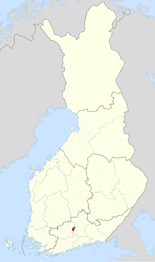
Hämeenkoski is a former municipality of Finland. It was merged to the municipality of Hollola on 1 January 2016.
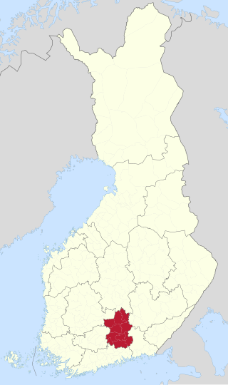
Päijät-Häme is a region in Southern Finland south of the lake Päijänne. It borders the regions of Uusimaa, Kanta-Häme, Pirkanmaa, Central Finland, South Savo and Kymenlaakso. The biggest city in the region is Lahti.

The Lahti railway station is located in the city of Lahti in Finland.
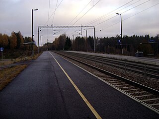
The Nastola railway station is located in the city of Lahti in the Päijänne Tavastia region, in Finland. The station is located in the centre of the urban area of Nastola, and the distance from the Lahti railway station is 15.7 kilometres and that from the Kausala railway station is 23.6 kilometres.
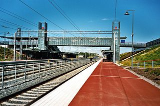
Mäntsälä railway station is located in the town of Mäntsälä, Finland, approximately 60 kilometres (40 mi) from Helsinki Central railway station.
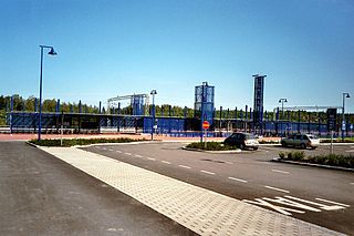
Haarajoki railway station is located in the district of Haarajoki, in Järvenpää, Finland, 40.2 kilometres (25.0 mi) north of Helsinki Central railway station.
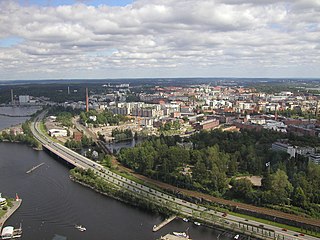
Finnish national road 12 is a highway in Finland between Rauma and Kouvola via Huittinen, Tampere and Lahti. The road is 339 kilometres (211 mi) long. It is known as Teiskontie to the east of the Tampere urban area.

Kausala is a village and administrative center in Iitti municipality in Päijänne Tavastia, Finland. Kausala has a population of 3,775, which makes it the largest village of the municipality in terms of population. The significance of Kausala for the municipality is largely due to its central location along the highway, Finnish national road 12 (Vt12), and the Lahti–Kouvola railway passing through the village. The nearest lakes are Lake Leininselkä and Lake Urajärvi in the northern part of the village.
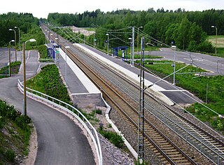
The Villähde railway station is located in the city of Lahti, Finland, in the district of Villähde. It is located along the Lahti–Kouvola line, and its neighboring stations are Lahti in the west and Nastola in the east.
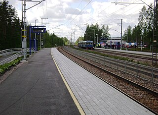
The Uusikylä railway station is located in the city of Lahti, Finland, in the district of Uusikylä. It is located along the Lahti–Kouvola line, and its neighboring stations are Nastola in the west and Kausala in the east.
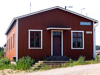
Uusikylä is the 36th district of the city of Lahti and village of the former Nastola municipality, in the region of Päijät-Häme, Finland. It borders the districts of Immilä in the north, Villähde in the west and Nastola in the northwest, as well as the municipalities of Iitti in the east and Orimattila in the south.


