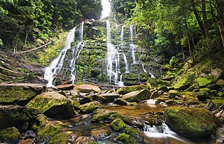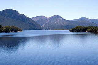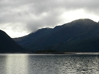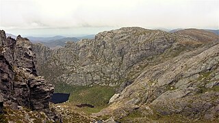
Franklin-Gordon Wild Rivers is a national park in Tasmania, 117 km west of Hobart. It is named after the two main river systems lying within the bounds of the park - the Franklin River and the Gordon River.

The King River is a major perennial river in the West Coast region of Tasmania, Australia.

The West Coast Range is a mountain range located in the West Coast region of Tasmania, Australia.
Lake Margaret is a concrete-faced gravity dam with an uncontrolled spillway across the Yolande River, located on the north side of Mount Sedgwick, in the West Coast Range, West Coast of Tasmania, Australia.
Mount Lyell is a mountain in the West Coast Range of Western Tasmania, Australia.
Mount Read is a mountain located in the West Coast region of Tasmania, Australia, and is at the north west edge of the West Coast Range.

Mount Owen is a mountain directly east of the town of Queenstown on the West Coast Range in Western Tasmania, Australia.

Lake Burbury is a man-made water reservoir created by the Crotty Dam inundating the upper King River valley that lies east of the West Coast Range. Discharge from the reservoir feeds the John Butters Hydroelectric Power Station, owned and operated by Hydro Tasmania.

Mount Huxley is a mountain located on the West Coast Range in the West Coast region of Tasmania, Australia. With an elevation of 926 metres (3,038 ft) above sea level, the mountain was named by Charles Gould in 1863 in honour of Professor Thomas Henry Huxley.

Mount Jukes is a mountain located on the Jukes Range, a spur off the West Coast Range, in the West Coast region of Tasmania, Australia.

Linda Valley is a valley in the West Coast Range of Tasmania. It was earlier known as the Vale of Chamouni. It is located between Mount Owen and Mount Lyell.

Mount Sedgwick is a mountain located within the West Coast Range, in the West Coast region of Tasmania, Australia.
Mount Tyndall is a mountain that is part of the Tyndall Range, a spur off the West Coast Range, located in the Western region of Tasmania, Australia.

The Henty River is a perennial river in the West Coast region of Tasmania, Australia. The river generally lies north of Queenstown and south of Zeehan.

Mount Murchison is a mountain on the West Coast Range, located in the West Coast region of Tasmania, Australia.
The Sticht Range is a mountain range located in the West Coast region of Tasmania, Australia. The range runs between two tributaries of the Eldon River and is located within the eastern part of the West Coast Range and has an unnamed peak with an elevation of 1,080 metres (3,540 ft) above sea level.
The Mount Read Volcanics is a Cambrian volcanic belt in Western Tasmania.

Mount Pelion East is a mountain located in the Central Highlands region of Tasmania, Australia. The mountain is situated within the Cradle Mountain-Lake St Clair National Park.

Lake Beatrice is a 55-hectare (140-acre) natural lake on the lower eastern side of Mount Sedgwick in the West Coast Range of Western Tasmania, Australia.

The Tyndall Range, commonly called The Tyndalls, is a mountain range that is part of the West Coast Range located in the Western region of Tasmania, Australia.


