The extreme points of Norway include the coordinates that are farther north, south, east or west than any other location in Norway; and the highest and the lowest altitudes in the country. The northernmost point is Rossøya on Svalbard, the southernmost is Pysen in Lindesnes Municipality, the easternmost is Kræmerpynten on Svalbard, and the westernmost is Hoybergodden on Jan Mayen. The highest peak is Galdhøpiggen, standing at 2,469 m (8,100 ft) above mean sea level, while the lowest elevation is sea level at the coast.

Leh district is a district in Indian-administered Ladakh in the disputed Kashmir-region. Ladakh is an Indian-administered union territory. With an area of 45,110 km2, it is the second largest district in the country, second only to Kutch. It is bounded on the north by Gilgit-Baltistan's Kharmang and Ghanche districts and Xinjiang's Kashgar Prefecture and Hotan Prefecture, to which it connects via the historic Karakoram Pass. Aksai Chin and Tibet are to the east, Kargil district to the west, and Lahul and Spiti to the south. The district headquarters is in Leh. It lies between 32 and 36 degree north latitude and 75 to 80 degree east longitude.

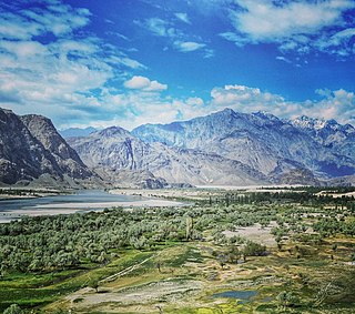
The Skardu District is a district of Pakistan-administered Gilgit-Baltistan in the disputed Kashmir region. Skardu District is bounded on the east by the Ghanche District, on the south by the Kharmang District, on the west by the Astore District, on the north-west by the Rondu District and on the north by the Shigar district. The district headquarters is the town of Skardu, which is also the division headquarters.

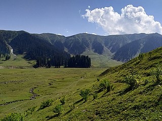
Astore District is a district of Pakistan-administered Gilgit-Baltistan in the disputed Kashmir region. It is one of the 14 districts of the Pakistani-administered territory of Gilgit−Baltistan. Its administrative headquarters are located at Eidgah in the Astore Valley. Astore District is bounded by Gilgit District to the north, Roundu District to the northeast, Skardu District to the east, Kharmang District to the southeast, Diamer District to the west, the Neelum District of Azad Jammu and Kashmir to the southwest, and the Bandipore District of Indian-administered disputed Kashmir region to the south.
The extreme points of the Faroe Islands include the coordinates that are further north, south, east or west than any other location in the Faroe Islands; and the highest and the lowest elevations in the territory.

Kupwara district is an administrative district of Indian-administered Jammu and Kashmir in the disputed Kashmir region. It is one of the 10 districts located in the Kashmir Valley Division of Indian administered Kashmir. The Pohru River and Mawar river are two main rivers in the district. Both of them meet Jhelum river in Baramulla district.

Samba district is an administrative district in the Jammu division of Indian-administered Jammu and Kashmir in the disputed Kashmir region. It was formed in 2006. Before its formation, this area was part of Jammu district and Kathua district.

Jammu and Kashmir, also known as Kashmir and Jammu, was a princely state in a subsidiary alliance with the British East India Company from 1846 to 1858 and under the paramountcy of the British Crown, from 1858 until the Partition of India in 1947, when it became a disputed territory, now administered by three countries: China, India, and Pakistan. The princely state was created after the First Anglo-Sikh War, when the East India Company, which had annexed the Kashmir Valley, from the Sikhs as war indemnity, then sold it to the Raja of Jammu, Gulab Singh, for rupees 75 lakhs.

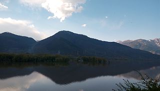
Bandipore district is an administrative district of Indian-administered Jammu and Kashmir in the disputed Kashmir region. It is one of the 20 districts in the Jammu and Kashmir. Bandipore town is the administrative headquarters of the district. Bandipore is located in the foothills of the snow-clad peaks of Harmukh overlooking the shores of Wular Lake and has produced hundreds of scholars and intellectuals. The district is known for its tourist places such as Wular Vintage Park, Athwatoo and Gurez valley. Before 1947, this town was a big trade and literary centre of Kashmir. This district was carved out from the erstwhile Baramulla district in 2007. The district is bounded by Kupwara district from the north, Baramulla district from west,Ganderbal district from the east, Kargil district in Ladakh, Neelum District in Pakistan-administered Azad Kashmir and Astore district in Pakistan-administered Gilgit-Baltistan. Bandipore district is the only district in Kashmir Division that shares border with Pakistan-administered Gilgit-Baltistan region. This district occupies an area of 398 km2. The district has a population of 392,232 as per 2011 census.

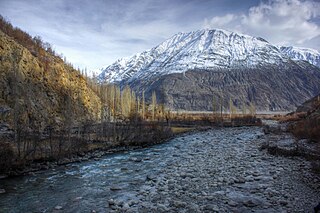
Nagar District is a district of Pakistan's Gilgit-Baltistan area in the disputed Kashmir region. It is one of the 14 districts of Gilgit-Baltistan. Nagar District was established in 2015 by the division of the Hunza–Nagar District into two districts: the Hunza District and the Nagar District. The Nagar District is bounded on the north and north-east by the Hunza District, on the south-east by the Shigar District, on the south by the Gilgit District, and on the west by the Gupis-Yasin District. The district headquarters in the town of Nagarkhas.

Baltistan Division is a first-order administrative division of Pakistan-administered Gilgit-Baltistan in the disputed Kashmir region. It overlaps with the historical Baltistan region.

Diamer Division, also known as Diamer-Astore Division, is a first-order administrative division of Gilgit-Baltistan region in Pakistan.

The Gupis-Yasin District lies in the Gilgit-Baltistan region of Pakistan. It is the western most of the 14 districts in Gilgit-Baltistan.

Ghizer District is a district of Pakistan-administered Gilgit-Baltistan region in the disputed Kashmir region. It is one of the 14 districts of Gilgit-Baltistan. The former Ghizer District that existed from 1974 to 2019 spanned the entire upper Gilgit River Valley. In 2019, the former district was divided into the Gupis-Yasin District in the west and the present, smaller Ghizer District in the east.


