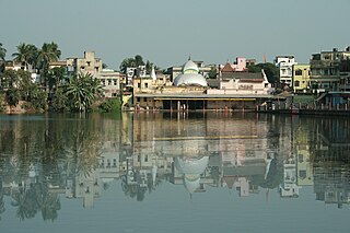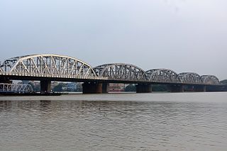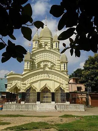
Chandannagar, also known by its former names Chandernagore and Chandernagor, is a city in the Hooghly district in the Indian state of West Bengal. It is headquarter of the Chandannagore subdivision and part of the area covered by the Kolkata Metropolitan Development Authority (KMDA).

Serampore is a city in Hooghly district in the Indian state of West Bengal. It is the headquarters of the Srirampore subdivision. It is a part of the area covered by Kolkata Metropolitan Development Authority (KMDA) and Greater Kolkata. It is a pre-colonial city on the west bank of the Hooghly River. It was part of Danish India under the name Frederiknagore from 1755 to 1845.

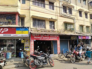
Nungi is a neighbourhood in the Maheshtala of the South 24 Parganas district in the Indian state of West Bengal. It is a part of the area covered by the Kolkata Metropolitan Development Authority (KMDA).
Arambagh also known as Arambag is a town and a municipality in Hooghly district in the state of West Bengal, India. It is the headquarters of Arambagh subdivision.

Bhadreswar is a city and a municipality of Hooghly district in the Indian state of West Bengal. It is a part of the area covered by Kolkata Metropolitan Development Authority (KMDA).

Tarakeswar is a famous sacred city and a municipality in Hooghly district in the Indian state of West Bengal. Tarakeswar is called "Baba Dham" or "The city of Shiva". It is one of the major tourist and holy place of West Bengal as well as India. Tarakeswar is a place of pilgrimage of Lord Shiva sect in West Bengal 58 kilometres (36 mi) away from State Capital Kolkata and about 1,520 kilometres away from National Capital New Delhi. Tarakeswar can be reached conveniently by train and bus from various places of West Bengal. Tarakeswar Station is well connected by Howrah Station. This city is also famous for agriculture, Tarakeswar's potato is also famous in all over India.

Bally is a neighbourhood in the city of Howrah of Howrah district in the Indian state of West Bengal. It is a part of the area covered by Kolkata Metropolitan Development Authority (KMDA).

Mogra is a gram panchayat, or village, which is home to the headquarters of the Chinsurah-Mogra community development block in the Chinsurah subdivision of the Hooghly district in the Indian state of West Bengal. It has a station on the Howrah-Bardhaman Main Rail Line, 47 km from Howrah Station and 7 km from Bandel Station.

The Haldi is a tributary of Hooghly River flowing through Purba Medinipur district of the Indian state of West Bengal. The Keleghai joins the Kansai at Tangrakhali under Nandakumar Police Station in Tamluk subdivision. The combined stream is called Haldi River. At 24 kilometres (15 mi) long, the Haldi is the last major river to flow into the Hooghly before the latter flows into the sea. The Haldi joins the Hooghly at the industrial town of Haldia.

Nawabganj is a locality in North Barrackpur Municipality of North 24 Parganas district in the Indian state of West Bengal. It is a part of the area covered by Kolkata Metropolitan Development Authority (KMDA). The locality is situated beside the Hooghly River and is surrounded by Palta Water Works, Barrackpore Air Force Station and Rifle Factory Ishapore.

Haripal is a village in Haripal CD Block in Chandannagore subdivision of Hooghly district in the Indian state of West Bengal.
Sarisha is a village and a gram panchayat within the jurisdiction of the Diamond Harbour police station in the Diamond Harbour II CD block in the Diamond Harbour subdivision of the South 24 Parganas district in the Indian state of West Bengal.

Jagatnagar is a census town in Singur CD Block in Chandannagore subdivision of Hooghly district in the state of West Bengal, India.
Keota is a census town in Chinsurah Mogra CD Block in Chinsurah subdivision of Hooghly district in the Indian state of West Bengal. It is a part of Kolkata Urban Agglomeration.
Rishra is a census town in Sreerampur Uttarpara CD Block in Srirampore subdivision of Hooghly district in the Indian state of West Bengal. It is a part of Kolkata Urban Agglomeration.
Dadpur is a village in Polba Dadpur CD Block in Chinsurah subdivision of Hooghly district in the state of West Bengal, India.
Serampore Municipality is the civic body that governs Serampore and its surrounding areas in Srirampore subdivision of Hooghly district, West Bengal, India.
Bargachhia is a census town of Nalikul Purba Gram Panchayat in Haripal CD Block in Chandannagore subdivision of Hooghly district in the Indian state of West Bengal.
Balarambati is a census town in Singur CD Block in Chandannagore subdivision of Hooghly district in the Indian state of West Bengal.
Belumilki is a census town in Sreerampur Uttarpara CD Block in Srirampore subdivision of Hooghly district in the Indian state of West Bengal. It is a part of Kolkata Urban Agglomeration.


