U.S. Route 91 or U.S. Highway 91 is a 172.7-mile-long (277.9 km) north–south United States highway running from Brigham City, Utah, to Idaho Falls, Idaho, in the U.S. states of Idaho and Utah. Despite the "1" as the last digit in the number, US 91 is no longer a cross-country artery, as it has mostly been replaced by Interstate 15. The highway currently serves to connect the communities of the Cache Valley to I-15 and beyond. Prior to the mid-1970s, US 91 was an international commerce route from Long Beach, California, to the Canada–US border north of Sweetgrass, Montana. US 91 was routed on the main streets of most of the communities it served, including Las Vegas Boulevard in Las Vegas and State Street in Salt Lake City. From Los Angeles to Salt Lake, the route was built along the corridor of the Arrowhead Trail. A portion of the highway's former route in California is currently State Route 91.
U.S. Route 92 or U.S. Highway 92 is a 181-mile (291 km.) U.S. Route entirely in the U.S. state of Florida. The western terminus is at US 19 Alt. and SR 687 in downtown St. Petersburg. The eastern terminus is at SR A1A in Daytona Beach.
U.S. Route 258 is a spur of US 58 in the U.S. states of North Carolina and Virginia. The U.S. Highway runs 220.15 miles (354.30 km) from US 17 Business and NC 24 Business in Jacksonville, North Carolina north to Virginia State Route 143 at Fort Monroe in Hampton, Virginia. In North Carolina, US 258 connects Jacksonville with the Inner Banks communities of Kinston, Snow Hill, Farmville, Tarboro, and Murfreesboro. The U.S. Highway continues through the Virginia city of Franklin, where the highway intersects US 58, and the town of Smithfield on its way to the Hampton Roads metropolitan area. US 258 crosses the James River on the James River Bridge and follows Mercury Boulevard through Newport News and Hampton.
Interstate 15 Business is a business loop of Interstate 15 (I-15) in Cascade County, Montana, United States, almost entirely within Great Falls. The route links I-15 with the center of Great Falls. As its business loop designation implies, I-15 Bus. terminates at I-15 at each end. The southernmost 0.83 miles (1.34 km) of the route from the interchange with I-15 to Fox Farm Road is designated, but not signed, as Interstate 315 (I-315). I-315 is the second shortest Interstate in the country; only the unsigned I-878 in New York is shorter; it is also the northernmost auxiliary Interstate of I-15.

U.S. Route 460 (US 460) in Virginia runs west-east through the southern part of the Commonwealth. The road has two separate pieces in Virginia, joined by a relatively short section in West Virginia. Most of US 460 is a four-lane divided highway and is a major artery in the southern third of the state. From Petersburg to Suffolk, US 460 is a four-lane non-divided highway. It is a popular alternative to Interstate 64 (I-64) when going from Richmond and other points in central Virginia to the Currituck Sound and Outer Banks of North Carolina, avoiding the congestion and tunnels of the more northerly I-64 corridor. The road passes through several small towns that built up at stops along the railroad line.

Several special routes of U.S. Route 23 (US 23) exist. There are 18 extant special routes along US 23 and 14 former routes.
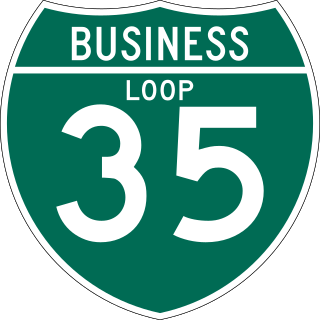
Interstate business routes are roads connecting a central or commercial district of a city or town with an Interstate bypass. These roads typically follow along local streets often along a former U.S. Route or state highway that had been replaced by an Interstate. Interstate business route reassurance markers are signed as either loops or spurs using a green shield shaped sign and numbered like the shield of the parent Interstate highway.
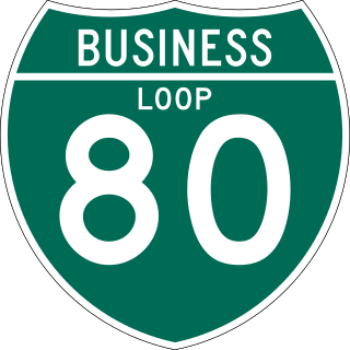
Interstate 80 Business may refer to several business routes of the Interstate Highway System that connects Interstate 80 with the central business district of various cities bypassed by I-80. The business route in each community is considered a unique route. In many cases, these routes are a former section of a U.S. Route or state highway.
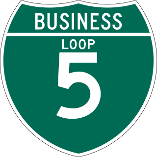
Business routes of Interstate 5 (I-5) exist in both California and Washington. There are no business routes in Oregon as that state does not assign such designations for any of its Interstate Highways. However, Oregon Route 99 (OR 99) essentially acts as a business route for most of Oregon, along with OR 99W and OR 99E, which also has its own business route in Salem.
U.S. Highway 23 (US 23) in the U.S. state of Georgia is a north–south United States Numbered Highway that travels from the St. Marys River south-southeast of Folkston to the North Carolina state line, in the northern part of Dillard. At nearly 392 miles (631 km) in length, it is the longest U.S. Highway in Georgia.

U.S. Route 41 (US 41) is a part of the United States Numbered Highway System that runs from Miami, Florida, to the Upper Peninsula of the US state of Michigan. In the U.S. state of Georgia it travels 387 miles (623 km) from the Florida state line southeast of Lake Park to the Tennessee state line south of East Ridge, Tennessee. Within the state, US 41 is paralleled by Interstate 75 (I-75) all the way from Florida to Tennessee, and I-75 has largely supplanted US 41 as a major highway. Due to this, the majority of the highway is not part of the National Highway System.
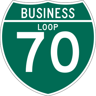
There are 13 active business routes of Interstate 70 in Colorado. Interstate 70 (I-70) spans Colorado in an east–west fashion, holding many business loops and spurs along the way, varying from lengths of 0.22 miles (0.35 km) to 27.47 miles (44.21 km), with a total of 55.51 miles (89.33 km). Four other business routes also used to exist within the state.
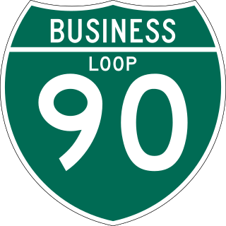
Interstate 90 Business may refer to several business routes of the Interstate Highway System that connects Interstate 90 with the central business district of various cities bypassed by I-90. Each business route can be either a business loop or a business spur, depending on whether both ends connect to I-90. The business route in each community is considered a unique route. In many cases, these routes are a former section of a U.S. Route.
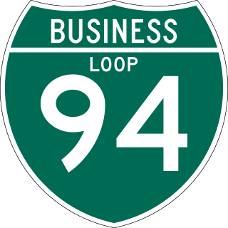
There are 19 business routes of Interstate 94 (I-94) in the United States. These business routes connect the downtown business districts of cities to the freeway along I-94.
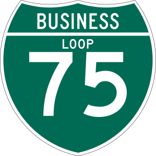
Business routes of Interstate 75 exist in three states. Georgia has three existing Interstate 75 (I-75) business routes and one other that was deleted. Ohio has three business routes for I-75. Nine other I-75 business routes also exist, or have existed, in Michigan, and a 10th has been proposed.
A total of at least sixteen special routes of U.S. Route 460 exist and at least six have been deleted.

Interstate business routes are roads connecting a central or commercial district of a city or town with an Interstate bypass. These roads typically follow along local streets often along a former U.S. Route or state highway that had been replaced by an Interstate. Interstate business route reassurance markers are signed as either loops or spurs using a green shield shaped and numbered like the shield of the parent Interstate highway.
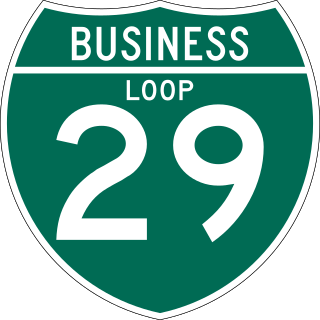
At least five business routes of Interstate 29 (I-29) are known to exist. These business routes provide access from I-29 to adjacent communities.
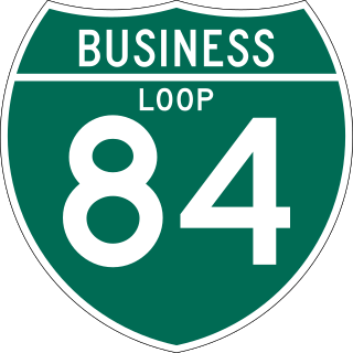
Dozens of business routes of Interstate 84 (I-84) exist. The existing and former business routes are located along the western and eastern segments of I-84.
Business routes of Interstate 70 (I-70) exist in three states, though historically they have existed in five. Utah and Missouri each have three existing I-70 business routes. Business routes in Kansas have either been proposed and rejected or decommissioned. Another 13 I-70 business routes also exist in Colorado and four others have also existed in the past, leading to a grand total of 17 within the Centennial State.
