
Domesday Book is a manuscript record of the Great Survey of much of England and parts of Wales completed in 1086 at the behest of King William the Conqueror. The manuscript was originally known by the Latin name Liber de Wintonia, meaning "Book of Winchester", where it was originally kept in the royal treasury. The Anglo-Saxon Chronicle states that in 1085 the king sent his agents to survey every shire in England, to list his holdings and dues owed to him.
Akenham is a village and civil parish in the Mid Suffolk district of Suffolk in the East of England. Located on the north-western edge of Ipswich, in 2005 it had an estimated population of 60. At the 2011 Census the population remained less than 100 and was included in the civil parish of Whitton.

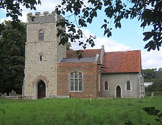
Debach is a small village about four miles northwest of Woodbridge, Suffolk, UK.
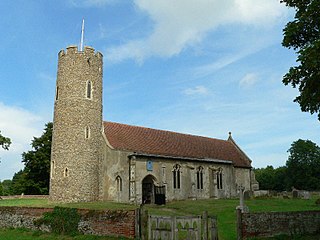
Frostenden is a village and civil parish in the East Suffolk district of the English county of Suffolk. It is around 8 miles (13 km) south-west of Lowestoft and 3.5 miles (5.6 km) north-west of Southwold and lies on the A12 road between Wrentham and Wangford. Neighbouring parishes include Wrentham, Sotterley, Uggeshall, Wangford with Henham, Reydon and South Cove.
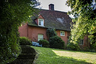
Abbas Hall is a small country house in Great Cornard, a village located near the town of Sudbury, Suffolk in England, the Elizabethan exterior of which masks a medieval two-bay aisled hall of c.1290, from which two massive oak posts with moulded capitals and two arches of the screens passage survive. The inserted floor in the great hall was put in about 1548–49. The house was originally the house of West Malling Abbey's manorial steward here. The house, from the grounds of which Thomas Gainsborough painted his celebrated view of Great Cornard Wood, was restored by the present owner, Stefan Kosciuszko, Chief of Staff Hinduja Group, and chief executive AMAS-IPS, the project development company for the Group, after 1995.

Thedwastre was a hundred of the county of Suffolk, England covering an area of 40,362 acres (163.34 km2). It formed part of the Liberty of Saint Edmund, under the jurisdiction of the abbots of Bury St Edmunds.
Timworth is a village and civil parish 65 mi (105 km) north east of London and 26 mi (42 km) east of Cambridge in the West Suffolk district of Suffolk in eastern England. Located around two miles north of Bury St Edmunds, its 2005 population was 50. At the 2011 Census the appropriate Postal Code showed the population as being included in Ampton.

Babergh was a hundred of Suffolk, consisting of 71,882 acres (290.90 km2). Its name survives in that of Babergh District, the local government district of southern Suffolk that includes the former hundred as well as those of Cosford and Samford.
Risbridge is a hundred of Suffolk, consisting of 58,468 acres (236.61 km2).

Hoxne was a hundred of Suffolk, with an area of 55,648 acres (225.20 km2).
Plomesgate is a hundred of Suffolk, consisting of 41,579 acres (168.26 km2).
Mutford and Lothingland was a hundred of Suffolk, with an area of 33,368 acres (135.04 km2). Lowestoft Ness, the most easterly point of Great Britain fell within its bounds.
Hawkedon is a village and civil parish in the West Suffolk district of Suffolk in eastern England. Located around 7 miles (11 km) south-south-west of Bury St Edmunds, the parish also contains the hamlet of Thurston End, and in 2005 had a population of 120. The majority of the village is classed as a conservation area.

Marlesford is a village and civil parish in the East Suffolk district of Suffolk, England. The population of the civil parish at the 2011 Census was 233.
Alnesbourne Priory, also known as Alnesbourn Priory, was a small Augustinian monastic house in the English county of Suffolk. It was located near Nacton to the south-east of Ipswich near to the River Orwell and the current route of the A14.

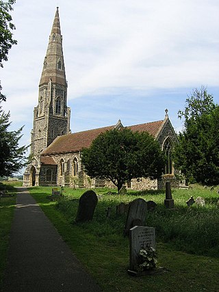
Lavenham Priory is a 13th-century Grade I listed building in Lavenham, Suffolk, England.
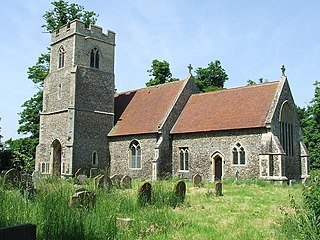
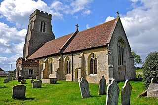
St Andrew's Church is situated in the village of Great Finborough, Suffolk, England. It is a Grade II listed building.

Chickering is a place in the civil parish of Hoxne, and the Mid Suffolk district of Suffolk, England. It is on the B118 Hoxne to Stradbroke road, and approximately 20 miles (30 km) north from the county town of Ipswich.

Rushbrooke is a village and former civil parish on the River Lark, 20 miles (32 km) north west of Ipswich, now in the parish of Rushbrooke with Rougham, in the West Suffolk district, in the county of Suffolk, England. Until April 2019 Rushbrooke was in the St Edmundsbury district. In 1961 the parish had a population of 58.
St Helen's Church was a church located near Santon, Norfolk, England. Its site is a scheduled monument. It was no longer in existence by 1368.
