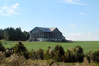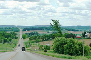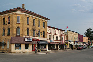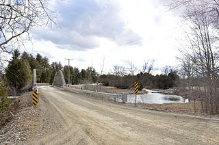
The County of Brant is a single-tier municipality in the Canadian province of Ontario. Despite its name, it is no longer a county by definition, as all municipal services are handled by a single level of government. The county has service offices in Burford, Paris, Oakland, Onondaga and St. George.

The Town of Mono is situated in south-central Ontario, Canada, at the south-east corner of Dufferin County. It stretches from Highway 9 along its southern border to Highway 89 along its northern border. Its border to the west is with the Township of Amaranth and in the east it is bordered by the Township of Adjala-Tosorontio. It was previously known as the Township of Mono.

Adjala–Tosorontio is a township in south-central Ontario, Canada, in the County of Simcoe.

Alliston is a settlement in Simcoe County in the Canadian province of Ontario. It has been part of the Town of New Tecumseth since the 1991 amalgamation of Alliston and nearby villages of Beeton, Tottenham, and the Township of Tecumseth. The primary downtown area is located along Highway 89, known as Victoria Street.

Simcoe County is located in the central portion of Southern Ontario, Canada. The county is just north of the Greater Toronto Area, stretching from the shores of Lake Simcoe in the east to Georgian Bay in the west. Simcoe County forms part of the Greater Golden Horseshoe area, a densely populated and industrialized region, centred on the Greater Toronto Area.

Clearview is an incorporated township in Simcoe County in Central Ontario, Canada, west of Barrie and south of Collingwood and Wasaga Beach in Simcoe County.

Mulmur is a township in Dufferin County in Southern Ontario, Canada. There are a number of original settlements such as Mulmur Corners, some of which can still be identified as to location, including Rosemont and Stanton.

New Hamburg is a community of approximately 7,930 in Wilmot Township. Founded in 1854 it is a rural township of the Regional Municipality of Waterloo, Ontario. It is bordered by Baden to the east and Perth County to the west, and close to the cities of Kitchener, Waterloo and Stratford.
Peel—Dufferin—Simcoe was a federal electoral district represented in the House of Commons of Canada from 1968 to 1979. It was located in the province of Ontario. This riding was created in 1966 from parts of Peel—Dufferin riding.

Amaranth is a township located in Dufferin County, Ontario, Canada, with a 2011 population of 3,963. It is named after the plant which grows abundantly within its borders. It is bordered by Mono to the east and East Luther to the west.

The community of Ayr, Ontario, Canada is located within the Township of North Dumfries in the Regional Municipality of Waterloo in Southwestern Ontario. Ayr is located south of Kitchener and west of Cambridge.
Breslau is a community located within the township of Woolwich, part of the Waterloo Regional Municipality in Ontario Canada. Separated from the city of Kitchener by the Grand River, Breslau is named after the former German city of Breslau, now Wrocław, capital of Poland's Lower Silesia.
William James Parkhill was an Ontario political figure. He represented Simcoe South in the Legislative Assembly of Ontario from 1878 to 1883 as a Conservative member.

Banda is an unincorporated rural community in Dufferin County, Ontario, Canada.

Ruskview is an unincorporated rural community in Mulmur Township, Dufferin County, Ontario, Canada.

Speyside is an unincorporated community in Halton Hills, Ontario, Canada.

Living Springs is an unincorporated rural community in Centre Wellington Township, Wellington County, Ontario, Canada. The settlement was part of West Garafraxa Township until 1999.
Clearview Public Library is a public library serving the residents of the Township of Clearview, Simcoe County, Ontario, Canada, and through contracts to the residents of the adjoining townships of Adjala–Tosorontio, Simcoe County, and Mulmur, Dufferin County. Library branches are located in the communities of Stayner, Creemore and New Lowell. A drop box is located in the community of Nottawa.

The Boyne River is a river in Simcoe County and Dufferin County in Central Ontario, Canada. It is part of the Great Lakes Basin, and is a left tributary of the Nottawasaga River. The rivers falls within the jurisdiction of the Nottawasaga Valley Conservation Authority.

Cumnock is an unincorporated rural community in Centre Wellington Township, Wellington County, Ontario, Canada. Cumnock was part of Nichol Township until 1999.


