Home » World Map PNG Transparent Images

Advertisements


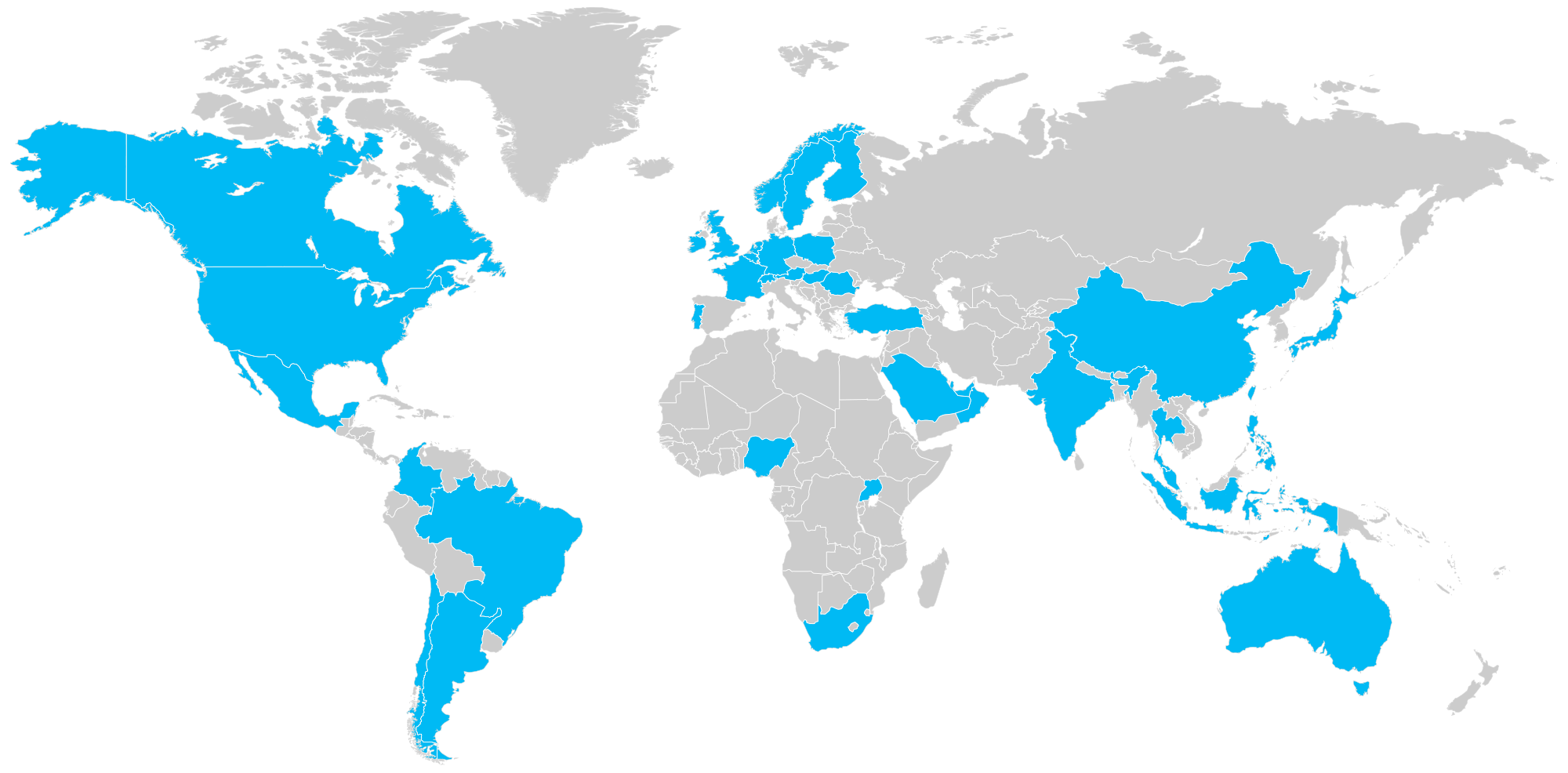
Color-Coded World Map with Geographical Regions and Boundaries PNG

world map, geographical regions, color-coded continents, global boundaries, World Map PNG


Download PNG File

Download Color-Coded World Map with Geographical Regions and Boundaries PNG which is available for personal use. You can also check out the similar PNG images from below gallery.

DMCA: Report

Advertisements

global connectivity, world map visualization, data representation, network analysis, World Map PNG
world map, geographical representation, continents illustration, global layout, World Map PNG
world map, colorful continents, geographic representation, global regions, World Map PNG
world map, geographical regions, global distribution, political boundaries, World Map PNG
world map, geometric design, low poly illustration, global geography, World Map PNG
graphic design, vector illustration, logo icon, creative symbol, World Map PNG
world map, global connectivity, geographic distribution, international locations, World Map PNG
world map, global geography, continents and oceans, geographical representation, World Map PNG
colorful map visualization, abstract world representation, vibrant geographic display, artistic data illustration, World Map PNG
world map, highlighted countries, global regions, geographic distribution, World Map PNG
world map, geographic distribution, global regions, data visualization, World Map PNG
world map, data visualization, geographic representation, location markers, World Map PNG
world map, geographical illustration, continents outline, global geography, World Map PNG
world map, global geography, continents illustration, spatial awareness, World Map PNG
world map, geographic representation, continents illustration, global geography, World Map Clipart HD PNG
world map, global geography, continents outline, geographic representation, World Map PNG

.