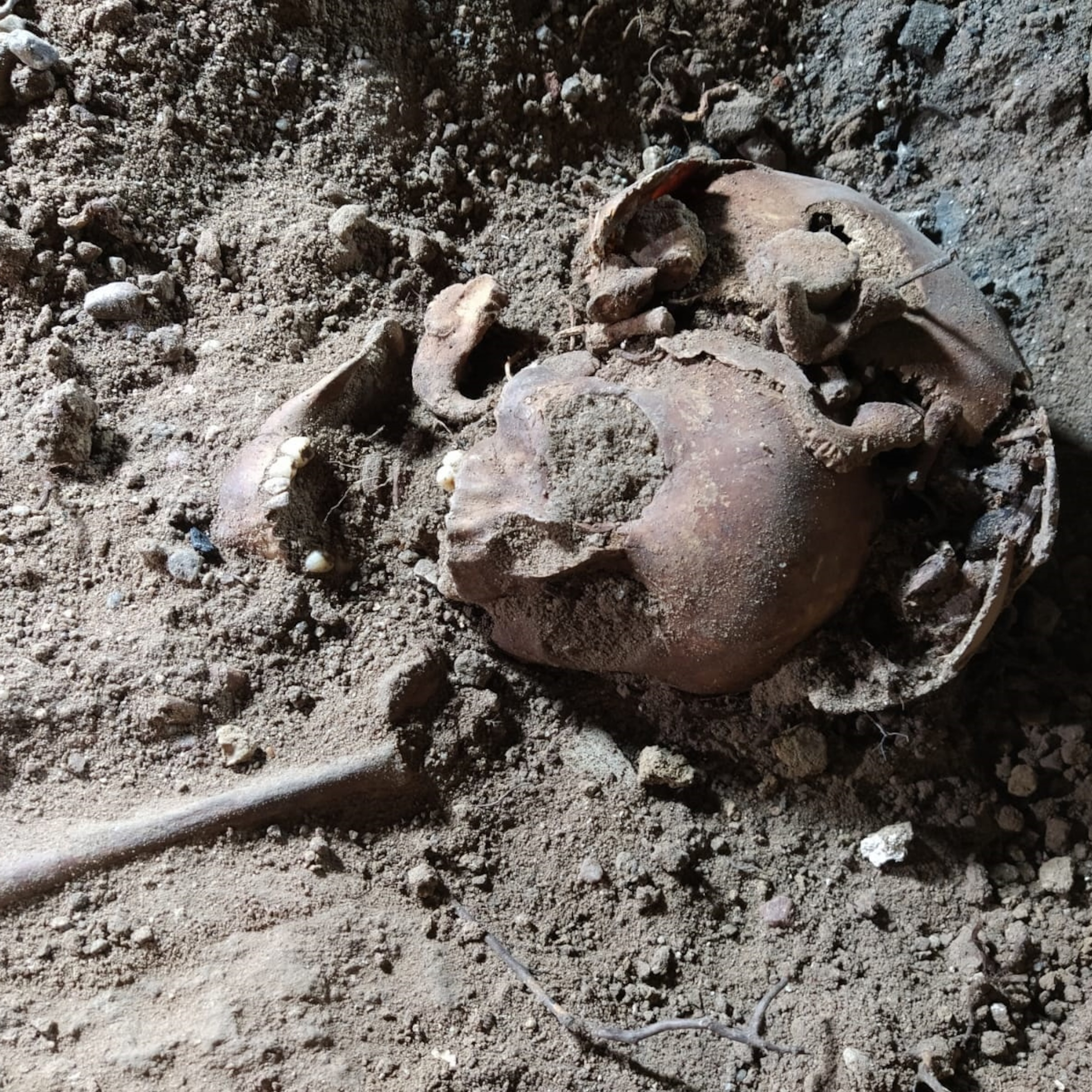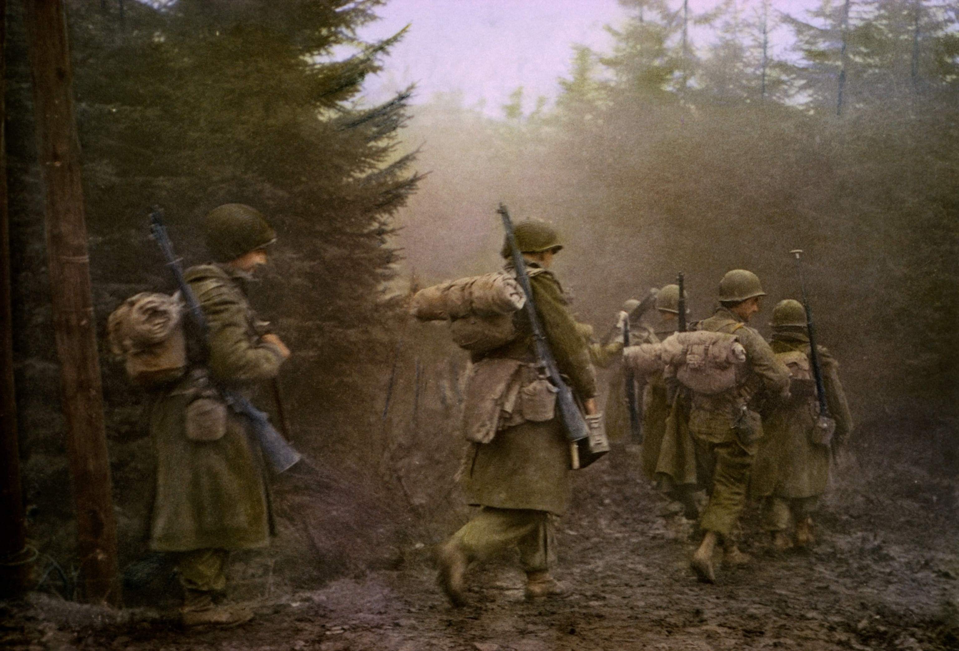
Hidden details from the Battle of the Bulge come to light
New techniques using drone lidar technology allow archaeologists to study the vast battlefields of World War II in more detail than ever before.
The Battle of the Bulge during World War II, fought in the Ardennes Forest of Europe in the depths of winter in 1944 and 1945, is one of history’s greatest battles.
By its end, more than 700,000 American soldiers had taken part, among more than a million Allied troops; and more than 80,000 Americans were killed, missing, or wounded in the six-week battle that took place in snow and bitter cold. On the German side, more than half a million soldiers were involved, and the losses were even worse, with up to an estimated 120,000 casualties.
The Bulge—named for the distortion in the Allies’ military front caused by the surprise attack—would be Germany’s final offensive of the war, a last-ditch effort by the Nazi leader Adolf Hitler to stall the Allied advance in western Europe and avoid the defeat that came a few months later.
Although it’s been extensively studied by military historians, the battlefield’s rough terrain, dense tree cover, and vast size stretching between Belgium, Luxembourg, and Germany mean that little archaeology has been done there.
A new study, however, involved scanning part of the battlefield with drones to discover more than a thousand hidden landscape features made during the fighting almost 80 years ago. These include dugout shelters, bomb craters, artillery placements, fox holes, and trenches, revealing new information about the events and movements of the battle.
When the last veterans of the Battle of the Bulge pass on, “only the landscape will remain as a witness,” says conflict archaeologist Birger Stichelbaut of Belgium’s Ghent University, the lead author of the new study published in Antiquity.
Lasers on drones
Stichelbaut and his collages surveyed parts of the battlefield with an aerial drone equipped with high-resolution lidar, which stands for Laser Detection and Ranging. Similar to radar but using pulses of laser light instead of radio waves, the technology allowed the researchers to explore hundreds of archaeological sites in detail. Many of these features barely registered on public, low-resolution lidar maps of Belgium’s southern Wallonia region, which covers most of the Ardennes.
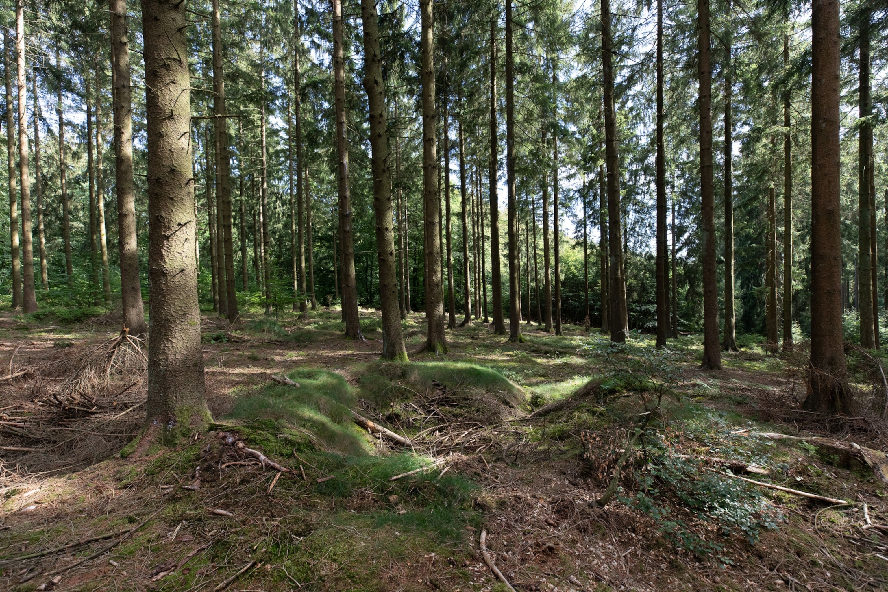
Stichelbaut’s family also hiked to several of the sites last summer. “I did it on a holiday,” he says. “My children are now experts at looking for American dugouts.”
YEAR-LONG ADVENTURE for every young explorer on your list
FREE limited-edition frog drawstring bag with every Nat Geo Little Kids Book Bundle subscription
The researchers used the data from the drone surveys to extrapolate what they’d learned on foot to a much larger section of the Bulge battlefield within Belgium, east of the city of St. Vith and around the town of Schönberg, an area of roughly 50 square miles.
They identified archaeological relics in the landscape even in areas they hadn’t visited, revealing more than 1,000 previously unknown bomb craters, earthwork dugouts, shelters, and artillery emplacements hidden within the forest.
Stichelbaut explains that World War II conflicts covered enormous areas because both sides used tanks and moved artillery and infantry with trucks. The Battle of the Bulge, for example, ranged over more than 500 square miles. In contrast, the battles of World War I were more static, with the front lines fighting in trenches sometimes less than a hundred feet apart.
Using the drone’s high-resolution lidar on small sites enabled the researchers to interpret what they saw on the larger, low-resolution maps that were already available, Stichelbaut says. This allowed them to study much of the battlefield without searching on foot.
The sites the team did visit on foot, however, informed their interpretations of the maps and provided a unique way to study this historic clash between the Allies and Nazi Germany.
Vestiges of battle
The team also found artifacts of the great battle, including fuses for artillery shells, the remains of grenades, metal plates for food, and fragments of a bag for the propellent of an American 155-mm gun.
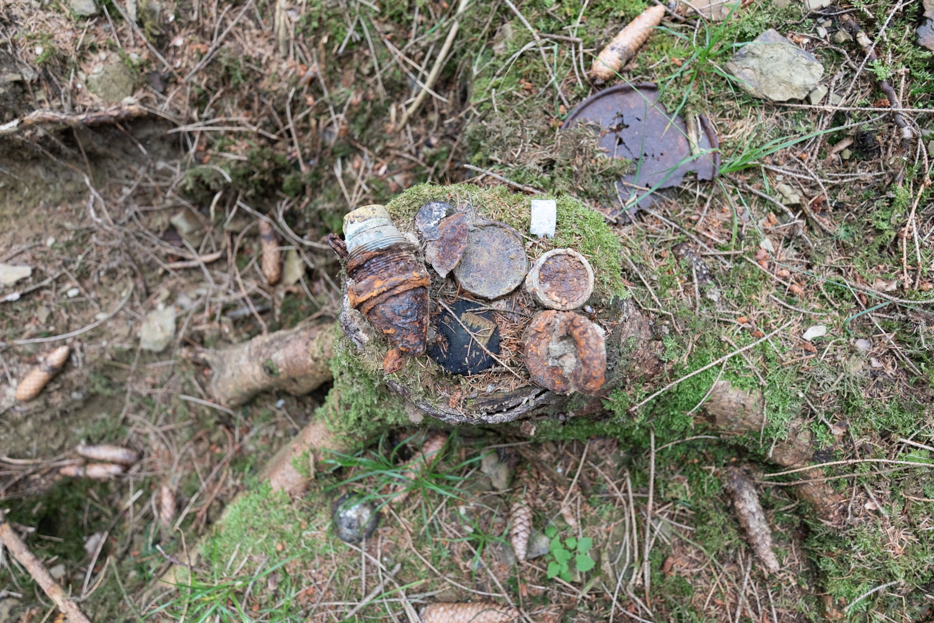
Their investigations suggest that German soldiers reoccupied American positions after an early phase of the fighting near Schönberg, where 7,000 American soldiers were cut-off and forced to surrender.
“What we found in that area was American gun emplacements that were orientated towards the east to fire on German positions,” Stichelbaut says. “But we also found the remains of German steel hand grenades, so either the Germans were reusing the positions to take shelter, or there was fighting in that area.”
He hopes the results of the study can be used to inform visitors about the key battle. The region is peppered with small town museums that relate the local history of the Battle of the Bulge, but the forests where much of the fighting took place are unmarked. There are many walking trails that could have signposts about the events that took place there, Stichelbaut says.
The lidar revolution
The latest study also advances the use of lidar, which has revolutionized archaeology in recent years. The researchers hope these new techniques can be used to investigate other WWII battlefields, which could lead to their legal protection as historic sites.
Ghent University researcher Dries Couke, a co-author of the new study, says this was the first archaeological use of an innovation called SLAM, which stands for Simultaneous Localization and Mapping. It means the drone’s lidar was used to both determine the geographic location and map the surrounding area.
“Normally you’d first have to locate yourself and then do the mapping,” he says. “But now it happens all at once, and this is much faster.”
This is “an excellent study,” says archaeologist Takeshi Inomata of the University of Arizona, who wasn’t involved in the research. “It demonstrates that the combination of high-resolution lidar of a select zone with a lower-resolution lidar of a broader area is effective.”
Inomata investigates early Mayan civilization, and in 2020 he used lidar to reveal the Aguada Fénix complex in the jungles of southern Mexico.
Preserving the past
For military historian John McManus of the Missouri University of Science and Technology, who also wasn’t involved in the research, the new study explains features of the battlefield that many history books are silent about.
“I’ve been to all of these places … I’ve seen the old foxholes and dugouts, and I’ve often wondered about them,” he says. “There’s so much more there than we can see.”
McManus is the author of Alamo in the Ardennes, which recounts the defense by American soldiers during the Siege of Bastogne, a key part of the Battle of the Bulge. The siege culminated in General Anthony McAuliffe famously replying “NUTS!” to a German demand to surrender.
Weeks of heavy snow and rain made the Battle of Bulge about as bad as it could be, for both sides. But the Allied soldiers weathered the intense cold and held off the increasingly desperate German assaults until the weather started to clear on Christmas Day of 1944.
That allowed Allied warplanes to fly again and start bombing the German lines—a decisive factor that Hitler had gambled against, and lost.
The renewed air attacks forced the Germans to retreat, and although the Ardennes offensive set back the invasion of Germany, the Allies crossed the Rhine River in March 1945 and began advancing towards Berlin.
Stichelbaut notes lidar archaeology can capture information about these key WWII battlefields before nature reclaims them, and perhaps help memorialize them for the future. Before long, the people who witnessed these events will be gone.
“We won’t be able to talk to the veterans anymore,” Stichelbaut says. “But you can have direct contact with the battles by visiting these sites.”
