All products featured on Condé Nast Traveler are independently selected by our editors. However, when you buy something through our retail links, we may earn an affiliate commission.
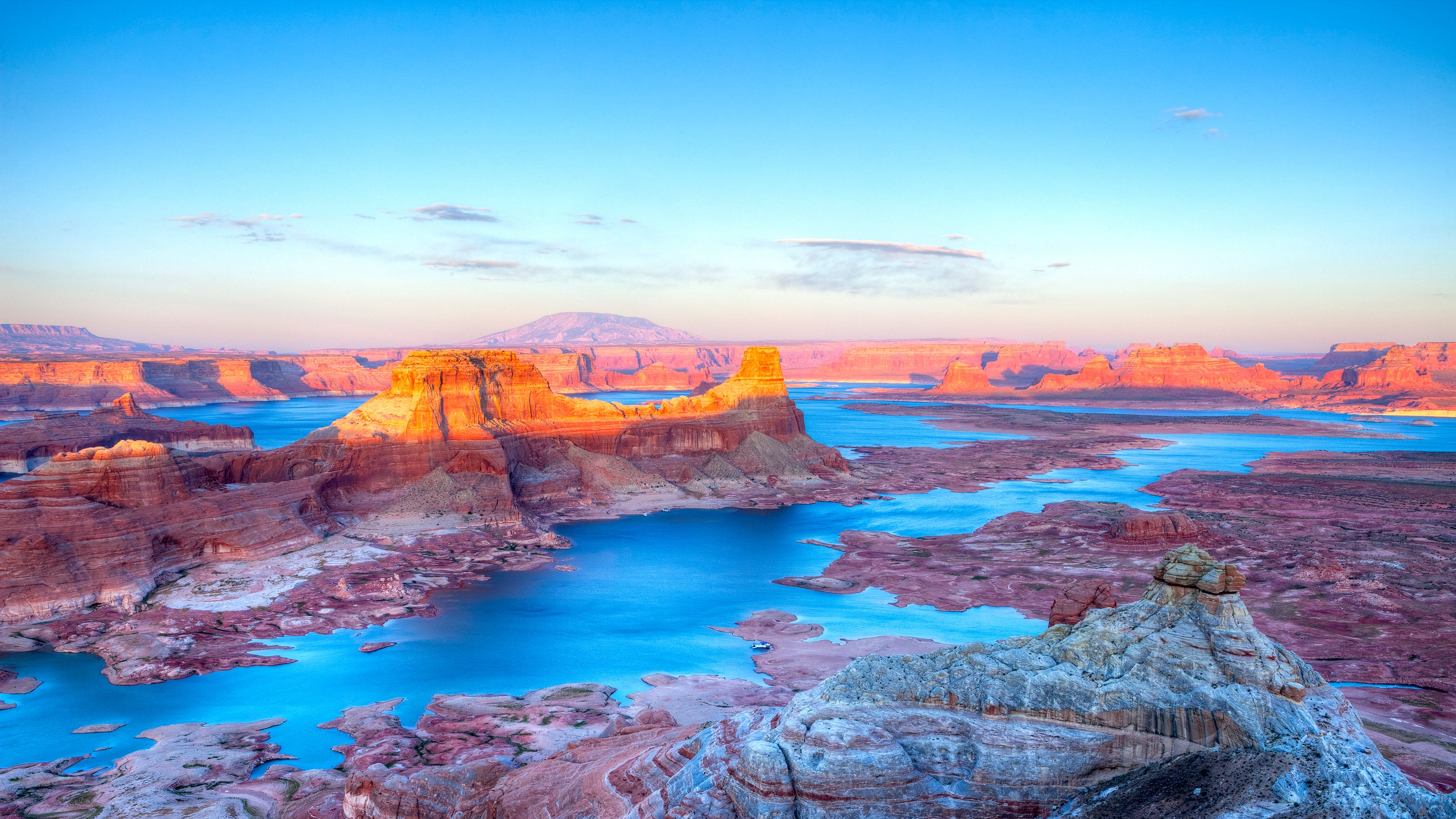
Every year, two million people visit the Glen Canyon National Recreation Area, a stunning red-rock wonderland on the Utah-Arizona border. Hiking, boating, and fishing Lake Powell have become a summer tradition in the American West. But you can't really call this lake a "natural playground," because there's nothing natural about it.
Lake Powell isn't a really a lake.
Actually, it's a reservoir—currently the largest and deepest in the United States, though Lake Mead would be bigger if both were at capacity. "Lake" Powell was just Glen Canyon until the Colorado River was dammed there in the 1960s, flooding 160,000 acres of the region's sandstone gorges.
Lake Powell has a whole ocean's worth of shoreline.
Lake Powell's artificial origin story explains its distinctive zigzag-dragon shape on a map, a mass of spiky inlets that boaters love to explore. In fact, the lake's fractal outline gives it a shoreline more than 1,900 miles long. Measuring shore length is admittedly an inexact science, but that's roughly the same length that the Congressional Research Service reports for the whole U.S. Atlantic coast, or the three Pacific Coast states plus Hawaii.
The dam changed the face of the Southwest.
The creation of Lake Powell remains controversial for environmental reasons. Southern Utah isn't the world's best spot for a reservoir; fully six percent of the Colorado's flow is lost there to porous sandstone and blistering desert heat every year. The dam also traps sediment upstream and warms the river downstream, threatening fish and accelerating erosion. But the biggest effect was felt more than seven hundred miles away in Mexico. Thousands of square miles of wetlands at the Colorado River Delta disappeared for good once the dam gates closed.
Lake Powell put Rainbow Bridge on the map.
Rainbow Bridge is the largest natural stone arch in the Western Hemisphere—and an iconic symbol of Utah. But it was almost unknown to the outside world until 1909, when an Anglo expedition located the legendary site. For decades, Rainbow Bridge was too remote to attract too many visitors—which was fine by local Navajos, who consider it a sacred spot. But Lake Powell changed that, for better or for worse. Now a quarter of a million people can travel to the arch by motorboat every year. When the reservoir is full, Rainbow Bridge becomes a literal bridge, crossing a channel of water 46 feet deep.
Explore the world's oddities every week with Ken Jennings, and check out his book Maphead for more geography trivia.

