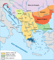
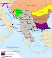
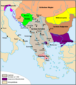
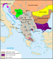
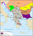
File:Taratul sarbesc.svg
Jump to navigation
Jump to search

Size of this PNG preview of this SVG file: 540 × 600 pixels. Other resolutions: 216 × 240 pixels | 432 × 480 pixels | 691 × 768 pixels | 922 × 1,024 pixels | 1,844 × 2,048 pixels | 994 × 1,104 pixels.
Original file (SVG file, nominally 994 × 1,104 pixels, file size: 291 KB)
Categories:
- Maps of the Serbian Empire
- Maps of medieval Bosnian and neighboring states
- Maps of the history of Bulgaria in the Middle Ages
- Maps of the history of Romania in the Middle Ages
- Maps of the history of the medieval Balkans
- Maps of the history of North Macedonia in the Middle Ages
- SVG maps of North Macedonia
- Romanian-language SVG maps showing history
