Discover
Mōkau River
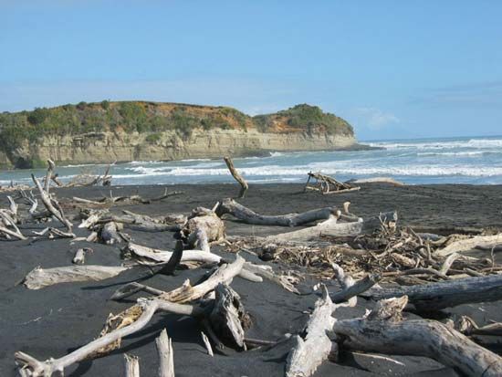
Mōkau River entering North Taranaki Bight of the Tasman Sea, North Island, New Zealand.
Mōkau River
river, New Zealand
verifiedCite
While every effort has been made to follow citation style rules, there may be some discrepancies.
Please refer to the appropriate style manual or other sources if you have any questions.
Select Citation Style
Feedback
Thank you for your feedback
Our editors will review what you’ve submitted and determine whether to revise the article.
External Websites
Mōkau River, river in North Island, New Zealand. It rises in the Rangitoto Range south of Te Kuiti and flows southwest for 98 miles (158 km) to enter North Taranaki Bight of the Tasman Sea. The Mōkau River drains a basin of 550 square miles (1,425 square km). Its lower valley is a dairying area subject to periodic flooding. Despite a sandbar at its mouth, the Mōkau is navigable to a falls 23 miles (37 km) upstream. The towns below the falls include Mōkau, a former port a mile from the sea. Mōkau is a Māori word meaning “winding stream.”


